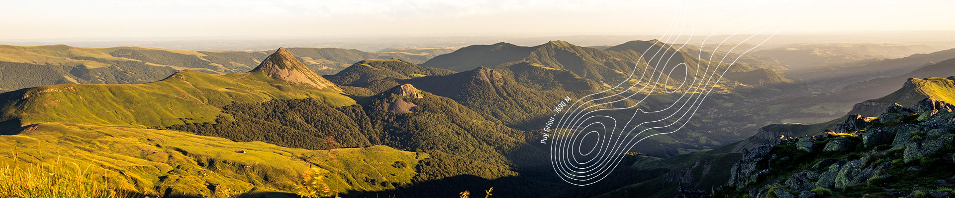
Map of Puy Mary
Discover Puy Mary with our map that will help you prepare your visit to the Grand Site de France Puy Mary – Volcan du Cantal. You will find the summits of the Cantalien massif, waterfalls, places of activities, burons and other heritage and natural points of interest.
Do you need a 1:25000 topographic map to prepare your hikes? A paper guide of the hikes that can be done on the massif? You will find these products on our online store as well as in our Maisons de Site. This map of the Puy Mary territory is also available free of charge in paper form in our Maisons de Site, as well as from numerous partners such as the tourist offices. Do not hesitate to visit our Maisons de Site, our agents will be at your disposal to talk to you about the territory and advise you.
You will also find on our website ideas of outdoor activities to do during your stay.
Don’t forget to consult the agenda of events in order not to miss anything during your stay and also to participate in the activities organized on the Puy Mary.
Before any activity think of lookingat the good gestures for the nature and your safety.

You can also use our application Espace Nature Puy Mary (available on iOS and Android)
to discover the hiking, horseback riding, trail and mountain bike routes on the Puy Mary.
Want to know more about the communes of the territory? The Cantal volcano is composed of glacial valleys in which the inhabitants, who live there, will be happy that you come to meet them to exchange with them.


